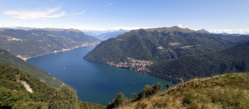
Wonderful scenic hike that from Germanello (Laglio) reaches the top of Mount Colmegnone, also known as "the Poncione of Laglio", climbing through the Monti di Germanello (520 m), the Pian di Nar alp (930 m) and the Piana delle Erbe (1170 m), then descending along the south ridge to Punta Forcoletta (1235 m) and finding the starting path on the Via Ticeè (325 m). The route is marked by blue dots and red and white directional arrows, the excursion requires excellent training as in some places you will have to climb or descend on rocky steps. We recommend caution even in the shortly exposed sections. The departure will be from Germanello near the bus stop line C 10 - ASF Autolinee (Laglio - Germanello - Bersagliere) and we recommend leaving with a good supply of water, food and mountain shoes and to postpone the trip in case of bad weather.
You’ll begin to climb up between the houses of Germanello and after crossing the bridge over the Caraello stream enter the woods, continuing the ascent on large stone steps. After a few hairpin bends you’ll arrive at the votive shrine at the gates of the Monti di Germanello and with a short detour you’ll reach an ancient spring that glimpses into a monolithic basin. Retracing your steps, go up through the mountain hamlet which is accompanied by magnificent views of Lake Como, after passing the last hut the climb becomes challenging and the hairpin bends follow one another without stopping. After walking along the Pian di Nar alp you’ll finally come out of the woods onto the splendid Piana delle Erbe, where in a dreamlike landscape there are views of Brienno, Nesso and Mount San Primo.
Carefully climb a rocky step and return to the woods for a short stretch, after a left turn continue to climb the ridge of the mountain to the top of Colmegnone (1383 m). Not far from the summit appears the Roccolo San Bernardo farmhouse (tel. 339 3150561), after a well-deserved break you’ll begin the descent along the southern ridge marching along until reaching Punta Forcoletta. Continue to descend cautiously into the woods, at the crossroads turn left in the direction of the Monti di Nar (745 m), after passing the ruins the descent becomes steep and winding. Once in Ticeè turn left, walk halfway up the hill through the upper part of the village of Laglio and skirt the houses of Gorla back to Germanello.
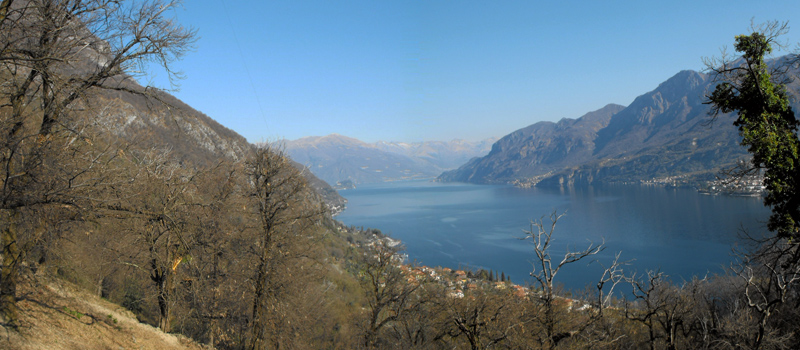
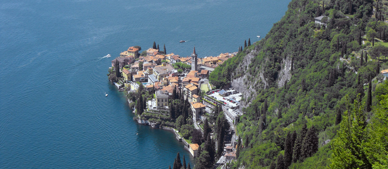
The Sentiero del Viandante travels halfway up the eastern part of Lake Como, beginning in Abbadia and ending in Morbegno. To allow you to enjoy this these beautiful sites in total tranquility, the route is divided into six stages.
Sentiero del Viandante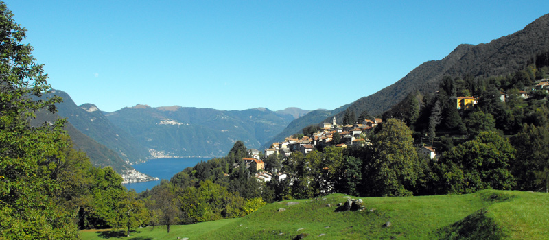
The hike on the Strada Regia is not particularly difficult, and is instead easily doable at any time of the year, keeping in mind to avoid the hottest days of summer and snow in winter. In this guide we have divided the route into three stages.
Strada Regia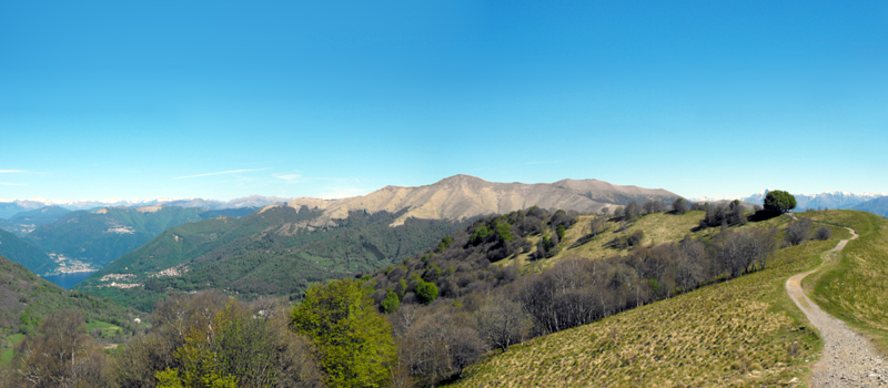
The trek to the ridge of the Lariano Triangle kicks off from Brunate and ends in Bellagio, the growth is about 37 km. which corresponds to 8/10 hours of walking, with some variations it is also possible to make the route with MTB.
Ridge Lariano Triangle