


The walk from Menaggio to the Rogolone oak tree is an easy hike free of difficult climbs, traversing a pleasant variety of paved roads, gravel tracks, dirt paths, and historical mule tracks through ancient villages and uncontaminated nature. The trail loops around the Rogolone (known as "Rugulon" in the local dialect, which translates to great oak tree), a majestic, centuries-old oak tree dating back to 1730 that is officially recognized as a protected natural monument of the Lombardy region. This scenic route begins and ends at the main ferry terminal square in Menaggio, which is easily reachable via public ferry and boat services or by using the ASF C110 bus line.
From the Menaggio ferry terminal, we turn right onto Via IV Novembre, and upon arriving at the church of Santo Stefano (St. Stephen), we begin our climb toward the historic village of Castello. Passing the church of San Carlo (St. Charles), we turn left onto the provincial road, following it uphill until reaching the junction for Loveno, where we take another left turn. We walk past the beautiful historic villas of Loveno and the church of Santi Lorenzo and Agnese (Sts. Lawrence and Agnes), and then follow the trail indicators on the left for the Path of Health (Percorso della Salute) into the scenic Valle Sanagra. Once we reach the Loveno cemetery, we find ourselves on the beautiful Piamuro plain, just a short distance from a peaceful rest area equipped with a fresh water fountain and a crossroads of paths, where we then follow the signs directing us toward Codogna.
After crossing the historic Nogara Bridge, we head up into Codogna. Entering the village near Villa Camozzi, which proudly houses the town hall of Grandola ed Uniti and the fascinating Ecomuseum of Val Sanagra, the official signs for the trail are located on Via alla Santa. The path opens up magnificent views over Val Menaggio and the Piano di Porlezza, leading us easily to the quiet clearing where both the giant Rogolone and its smaller companion, the Rogolino, stand tall. Thanks to a welcoming rest area equipped with picnic tables and benches, hikers can take a relaxing break and admire these unique, centuries-old trees up close. We then resume our hike by following the path to the right toward Velzo. After a scenic stretch through the woods, we emerge onto Via Gottro and pass through this quaint village to reach the magnificent church of San Siro (St. Syrus), from which we head down toward Codogna to rejoin our original path and follow the signs for our return to Menaggio.


A Journey Along the Upper Lake
Experience the beauty of Upper Lake Como on this scenic trek between Gravedona and Gera Lario. This easy route passes through historic villages with stunning northern lake vistas.

Panoramic loop hike (Como city)
An easy loop hike through the Spina Verde Regional Park; the trail is not difficult and follows paved roads and well-marked trails.
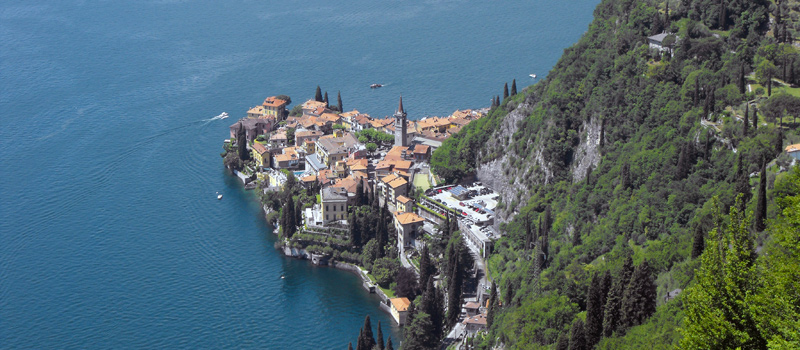
The Wayfarer’s Trail (Sentiero del Viandante) travels halfway up the eastern part of Lake Como, with the journey beginning in Abbadia Lariana and ending in Morbegno, to make the hike easier, the route is divided into six stages.
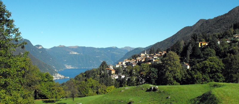
The hike along the Strada Regia is not particularly difficult and is highly doable at any time of the year, though it is best to avoid the hottest days of summer and snow in the winter, in this guide, we have divided the route into three stages.
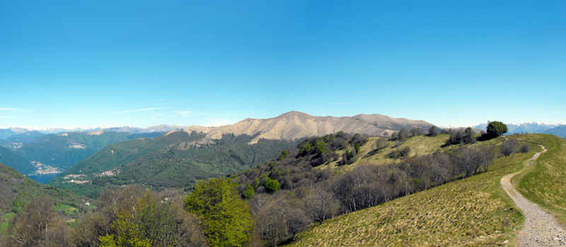
The trek along the ridge kicks off from Brunate and ends in Bellagio, though it can easily be traversed in the opposite direction without problems. The total distance is about 37 kilometers (23 miles), to roughly 8 to 10 hours of walking.

GPX tracks can be downloaded for personal use only, and they cannot be copied or distributed in any other form. GPX tracks, times and descriptions of the excursions should be considered only as indicative.
Responsibility for following the itineraries proposed on this website is entirely up to the user and is in no way whatsoever dependent on the author. The author assumes no responsibility for damage or accidents resulting from incorrect information or improper use of GPX tracks.

Menaggio - Rogolone Oak Tree
Agree the terms to download